Haw & Deep River Crossings
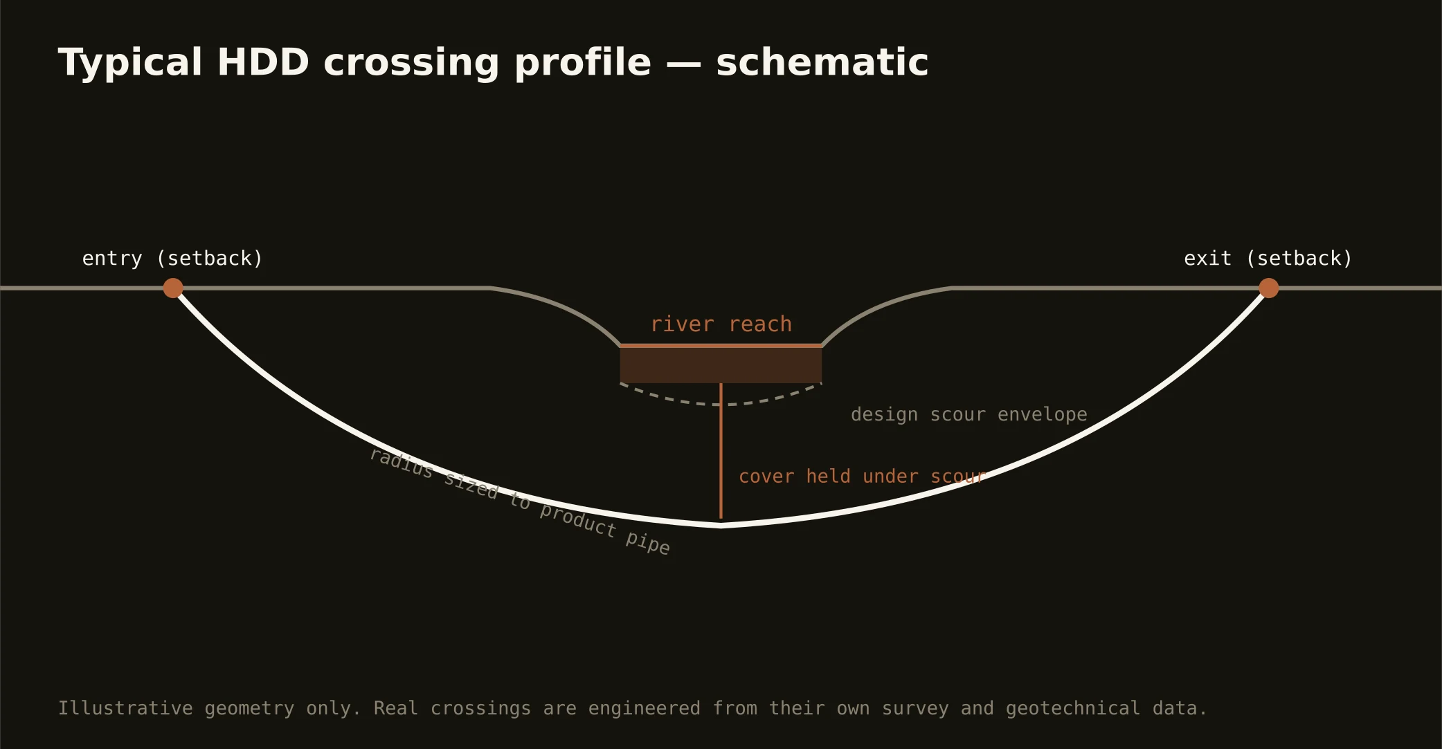
The Triad is headwater country — the Haw gathering off Rockingham's and Guilford's slopes on its way to the Cape Fear, the Deep rising at High Point and winding through Randolph's old mill seats, and the city lake chains impounding the upper branches for the region's taps — and its signature crossings answer to that geography. River shots are piedmont rock work: profiles drilled through saprolite into granite beneath bouldery channels, entry and exit set back from banks the greenway systems increasingly own, and the precision fresh rock rewards. Lake-adjacent and tributary shots answer the source-water stack first, because these are the waters the cities drink.
The authority picture runs state-and-source: North Carolina's riparian buffer rules — real, measured, and enforced — on the streams; water-supply-watershed controls on the lake chains; state water-quality certification where crossings trigger it; the greenway and parks stewardship along the urban reaches; and the road or rail owner overhead. Rockingham's Dan River reaches add their own chapter north: a storied river with its own watershed community and a two-state watershed conversation where the line runs close. Our quotes name the stack for the actual water.
Fluid discipline runs at drinking-supply grade throughout — containment both banks, conservative pressures over the fractured-rock reaches, monitored returns, and the response plan written before the pilot turns. In a region whose lakes sit upstream of its own faucets, that's not virtue; it's citizenship.